
Western Australia Battens Down as Rare and Destructive Storm Unleashes Carnage
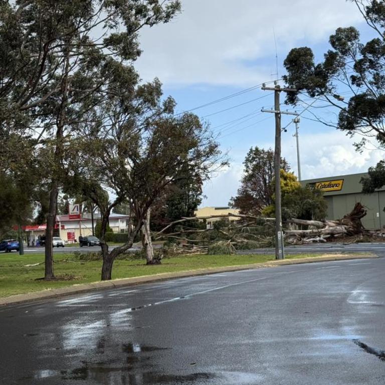
Western Australia is grappling with the aftermath of a severe weather event described as a “once-in-five-years” storm, which has caused widespread damage and left thousands without power. Shocking footage circulating on social media has highlighted the escalating danger, with one video capturing a vehicle crushed by a fallen tree amidst powerful winds near Glen Iris in the Bunbury region.
The Department of Fire and Emergency Services (DFES) confirmed they responded to the incident involving the fallen tree and a vehicle, assisting in the extrication of one person. While the exact circumstances of the car’s damage – whether directly caused by the falling tree or a separate incident – remain unconfirmed, the event underscores the perilous conditions battering parts of the state’s southwest.

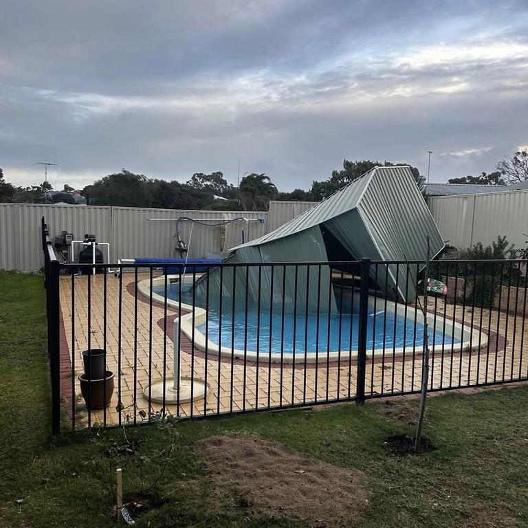
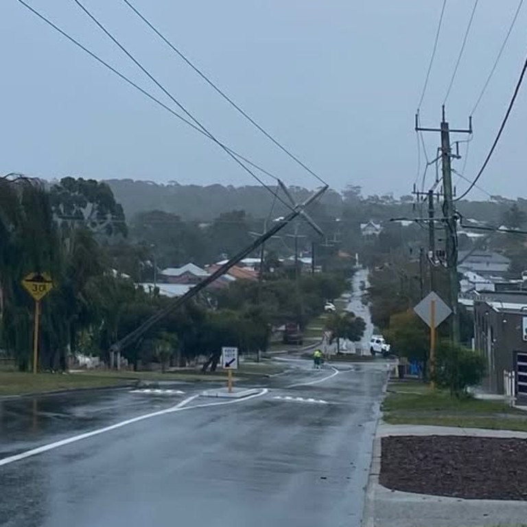
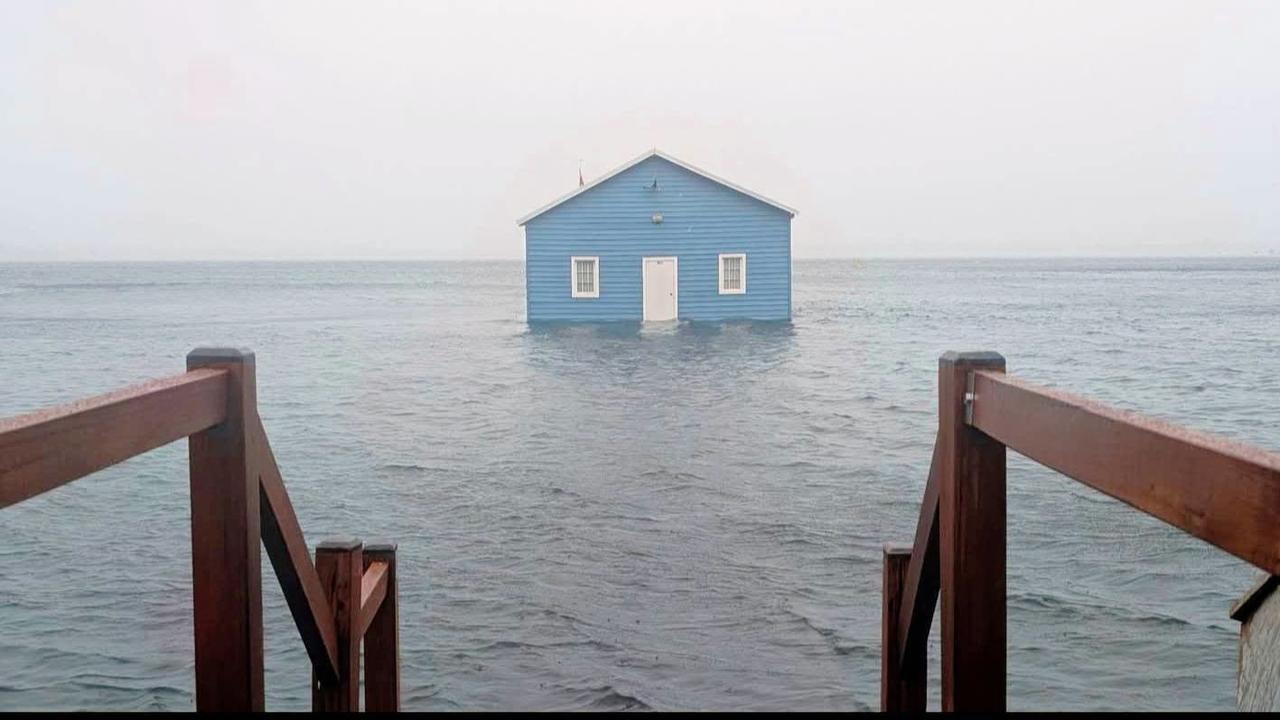
Social media platforms are awash with images and videos depicting the storm’s destructive path. Fallen powerlines and trees are a common sight, roofs have been torn from buildings, and boats have been washed ashore. As of Sunday afternoon, a staggering 14,600 homes across Perth and the South West were without power.
The situation is rapidly deteriorating, prompting DFES to issue urgent warnings for residents in Perth and other towns across Western Australia to prepare for immediate shelter. A Storm Watch and Act warning is now in effect for significant portions of the state, including:
- Perth metropolitan area
- Mandurah
- Midwest Gascoyne
- Goldfields Midlands
- South West
- Great Southern regions
Communities bracing for the storm’s full impact include Albany, Bunbury, Esperance, Kalgoorlie, Katanning, Manjimup, Merredin, Moora, Narrogin, Norseman, Busselton, Margaret River, Mount Barker, and Northam. DFES is urging residents in these areas to “act now and stay safe,” emphasizing that this is a prolonged severe weather event with rapidly changing conditions. They have cautioned that “rarely experienced winds may bring down trees, branches and powerlines.”
Wind and Waves: The Storm’s Ferocious Grip
Forecasters are warning of damaging westerly winds averaging 60 to 70 km/h, with gusts reaching up to 110 km/h. More concerning are the destructive wind gusts, predicted to exceed 125 km/h across an area southwest of a line stretching from Lancelin to Albany, encompassing the Perth metropolitan area, particularly during Sunday afternoon and evening. DFES has sternly advised residents to remain indoors and stay clear of windows when the storm hits.
The Bureau of Meteorology has confirmed that the most severe phase of the system is expected to hit southwest Western Australia on Sunday evening. This forecast has already led to the cancellation of various events, including day-long festivals and coastal cruises scheduled for the weekend.
Luke Huntington, a meteorologist with the Bureau, explained the cause of the extreme weather: “It’s all due to a deep low-pressure system moving into the southwestern corner this evening – that’s when the worst of the weather is expected.” He further described the event’s rarity, stating, “It does look like the storm is sort of a once-every-five-year event in WA, so it’s pretty unusual.”
The Bureau’s official severe weather and coastal hazard warnings reinforce the exceptional nature of this event. The warning explicitly states, “The winds associated with the low-pressure system during Sunday afternoon, evening and Monday morning are expected to produce dangerous weather that is only seen once every three to five years in the southwest of WA.”
Ilana Cherny, another Bureau meteorologist, highlighted the “particularly deep” nature of the low-pressure system responsible for the wild weather. She reiterated the warning about damaging winds on Sunday, noting, “We could see some destructive wind gusts up to 130 km/h southwest of a line from about Lancelin to Albany.”
Even before the peak of the storm, the initial trough and cold front that moved onshore over the weekend brought significant rainfall and recorded wind gusts of up to 117 km/h at Cape Leeuwin, the state’s most south-westerly mainland point. Busselton experienced substantial rainfall, recording 51mm within a 24-hour period.
Ms. Cherny warned of a second, more potent surge of damaging to destructive winds: “We are expecting a second, stronger pulse of damaging to destructive winds to reach southwestern parts this afternoon and lasting through to this evening and early hours of tomorrow.”
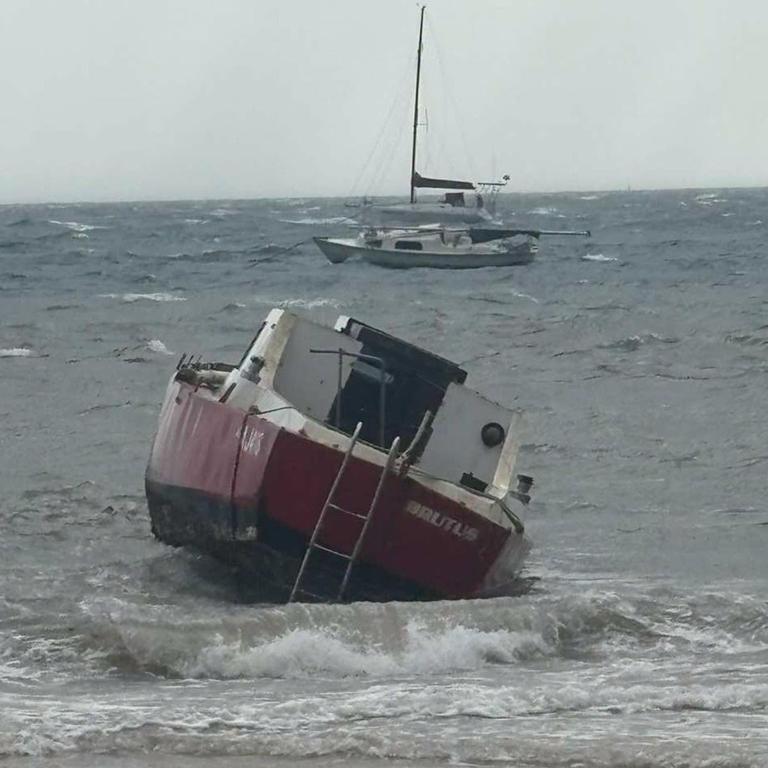
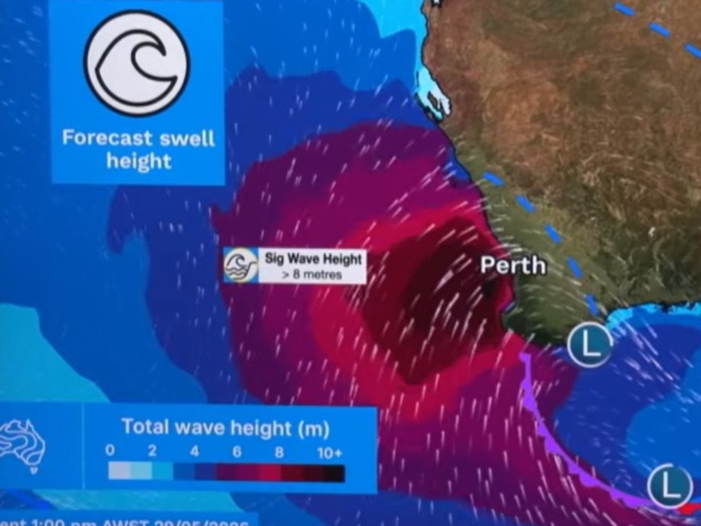
Beyond the destructive winds, the low-pressure system is also generating immense oceanic energy. Bureau meteorologist Sarah Scully cautioned about the powerful waves and swells associated with the storm. “This low-pressure system is also generating a huge amount of energy across the oceans, with very powerful waves and swells,” Ms. Scully stated.
The peak of these formidable waves is anticipated in the early hours of Monday morning, with significant wave heights expected to reach eight metres. The confluence of these massive waves with high tides significantly increases the risk of coastal erosion and inundation of low-lying coastal areas.
Ms. Scully advised residents within the warning zones to prepare for a range of severe weather impacts, including:
- Damaging to locally destructive winds
- Severe thunderstorms
- Areas of heavy rainfall
- Significant coastal hazards
- A potential risk of tornadoes
A System on the Move
The severe weather system is not expected to remain confined to Western Australia. Meteorologists have warned that the storm is tracking eastward, set to impact South Australia, Victoria, New South Wales, and Tasmania throughout Monday and Tuesday.
“Our windy conditions, as well as shower and thunderstorm activities will track through the southern and southeastern parts of the country over the next few days,” Ms. Cherny explained. “We’re looking at impacts to communities including damage to property and trees down. We’re also seeing power lines down which can lead to power outages.”